Institut "Vinča"
- About Institute
- Science
- Inovations
- Documents
- Contact
- Industry
- Education
- Publication Repository
- Intranet
- Webmail


10.11.2023
There is no part or complete translation available for this page. Close this dialogue to see the original text.
10.11.2023
There is no part or complete translation available for this page. Close this dialogue to see the original text.
10.11.2023
There is no part or complete translation available for this page. Close this dialogue to see the original text.
10.11.2023
There is no part or complete translation available for this page. Close this dialogue to see the original text.
10.11.2023
The Predict-Er brings a multidisciplinary approach that combines, for the first time, nuclear, analytical, statistical, and remote sensing techniques to develop a novel tool capable of predicting changes in soil erosion rates and sediment dynamics over a range of management scenarios. The representation and process models integrated into the Web-GIS user-friendly tool aim to support decision-makers in targeting appropriate conservation measures to minimize on-site and off-site effects of soil...
- Development of epsilon – iron oxide – based nanocomposites: Towards the next – generation rare- earth – free magnets
- Multifunctional visible-light-responsive inorganic-organic hybrids for efficient hydrogen production and disinfection
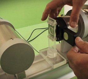
- Technology for remote temparature measurements in microfluidic devices
- Design of RADIOactive MAGnetic nanoconstructs for tumour therapy by synergy of nanobrachytherapy and magnetic hyperthermia
FEATURED
The Research Instruments
the list of research instruments

Projects with Industry
Services and acreditation